


Red Line
World Trade Centre metro
World Trade Centre
Coordinates:
25.22484, 55.28512 Red Line
views
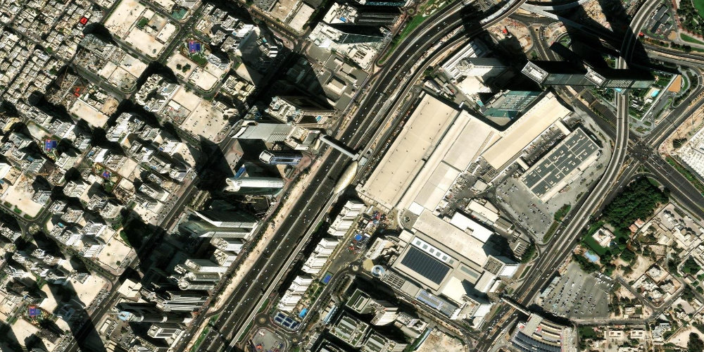
A station by the Dubai World Trade Centre complex, the city's main exhibition and convention venue, where the largest international forums and fairs take place. The Zabeel area is nearby.
Near the station
- Dubai World Trade Centre
- Zabeel
- Museum of the Future
Station on the map
Interactive satellite map — zoom and pan to explore exits and surroundings.
Neighbouring stations along the line
The previous and next stops along the line — not the closest by distance.
Other stations nearby
Straight-line proximity: there may be no interchange between these stations.
Frequently asked questions about World Trade Centre station
What takes place at the Dubai World Trade Centre?+
It is Dubai's main exhibition complex, hosting major international exhibitions, conferences and industry forums such as GITEX and others.
How far is the Museum of the Future from here?+
The Museum of the Future is nearby along Sheikh Zayed Road; you can walk there or ride one stop to Emirates Towers station.