


Red Line
Al Garhoud metro
Al Garhoud
Coordinates:
25.24948, 55.33998 Red Line
views
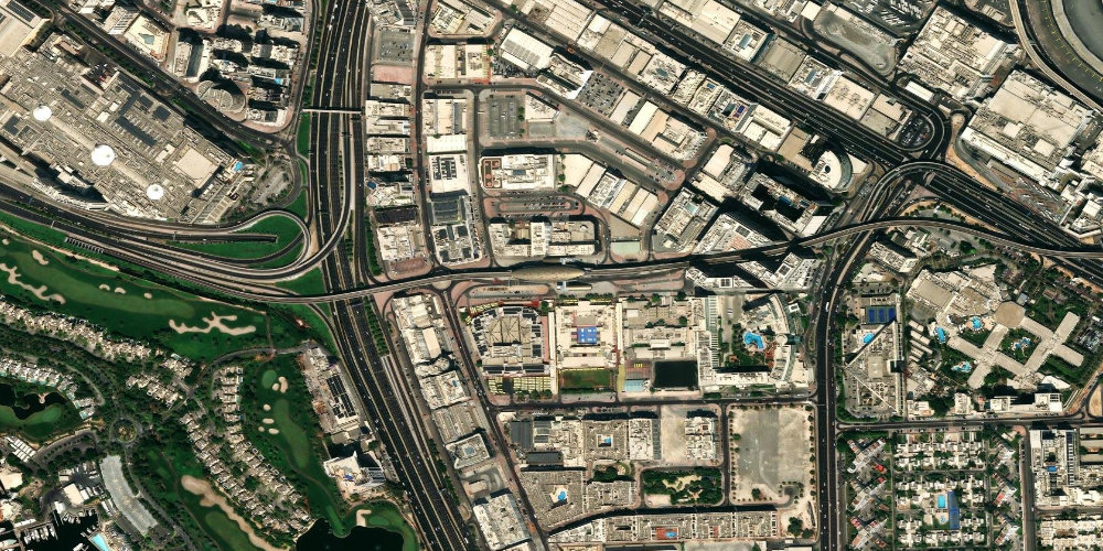
The station serves the Al Garhoud area between the airport and Deira, with offices, hotels and residential neighbourhoods. The main road interchanges of eastern Dubai run nearby.
Near the station
- Al Garhoud area
- Deira
- DXB Airport
Station on the map
Interactive satellite map — zoom and pan to explore exits and surroundings.
Neighbouring stations along the line
The previous and next stops along the line — not the closest by distance.
Other stations nearby
Straight-line proximity: there may be no interchange between these stations.
Frequently asked questions about Al Garhoud station
What is there to see near the station?+
Al Garhoud is mainly a business and residential area with hotels. There are no major tourist attractions right by the station.
How far is the airport from here?+
The airport is one or two stops away by metro towards the Airport Terminal 1 and Terminal 3 stations.