


Red Line
Deira City Centre metro
City Centre Deira
Coordinates:
25.25468, 55.33026 Red Line
views
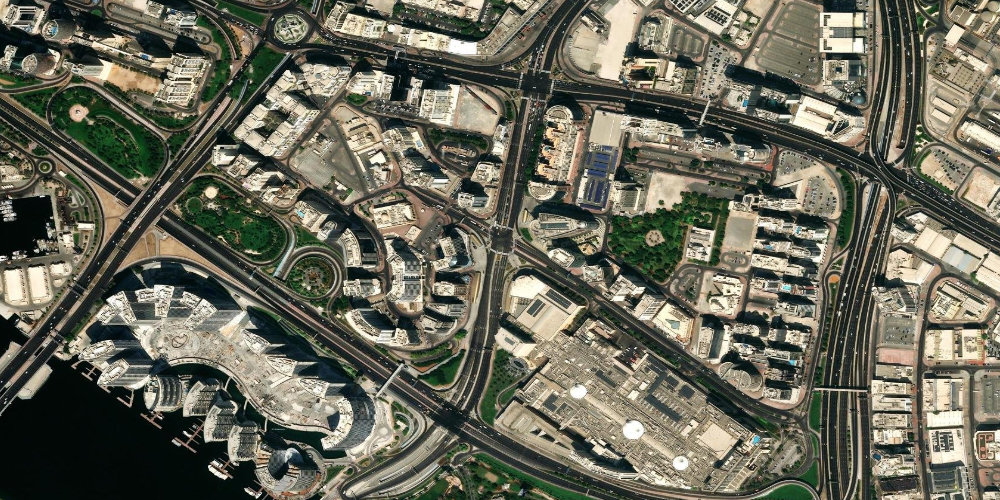
The station is connected by a covered walkway to one of the city's oldest major shopping malls, Deira City Centre. It is in the historic Deira district on the eastern bank of the Dubai Creek.
Near the station
- Deira City Centre Mall
- Deira
- Dubai Creek
Station on the map
Interactive satellite map — zoom and pan to explore exits and surroundings.
Neighbouring stations along the line
The previous and next stops along the line — not the closest by distance.
Other stations nearby
Straight-line proximity: there may be no interchange between these stations.
Frequently asked questions about Deira City Centre station
Can you reach the mall directly from the station?+
Yes, the station is connected to Deira City Centre Mall by a covered pedestrian bridge, so you can reach the shops without going outside.
What is the Deira district known for?+
Deira is the historic commercial part of Dubai, known for its famous gold and spice markets, traditional abra boats and old-city atmosphere.