Green Line
Al Ras metro
Al Ras
Coordinates:
25.26877, 55.29362 Green Line
views
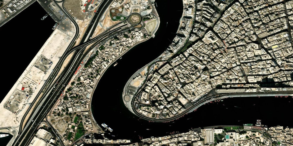
A station in the oldest part of Deira, among traditional markets and narrow commercial streets, next to the abra (water taxi) station across the Creek. Convenient for tourists exploring historic Dubai and crossing over to Bur Dubai.
Near the station
- Deira
- Spice Souq
- Al Ras abra station
- Dubai Creek
Station on the map
Interactive satellite map — zoom and pan to explore exits and surroundings.
Neighbouring stations
Useful info about the Dubai Metro
Frequently asked questions about Al Ras station
Can you cross by abra from Al Ras station?+
Yes, the abra (traditional water taxi) station is nearby, from where you can cross the Creek to Bur Dubai.
Which line is Al Ras station on?+
Al Ras is on the Dubai Metro Green Line, in the old part of Deira.