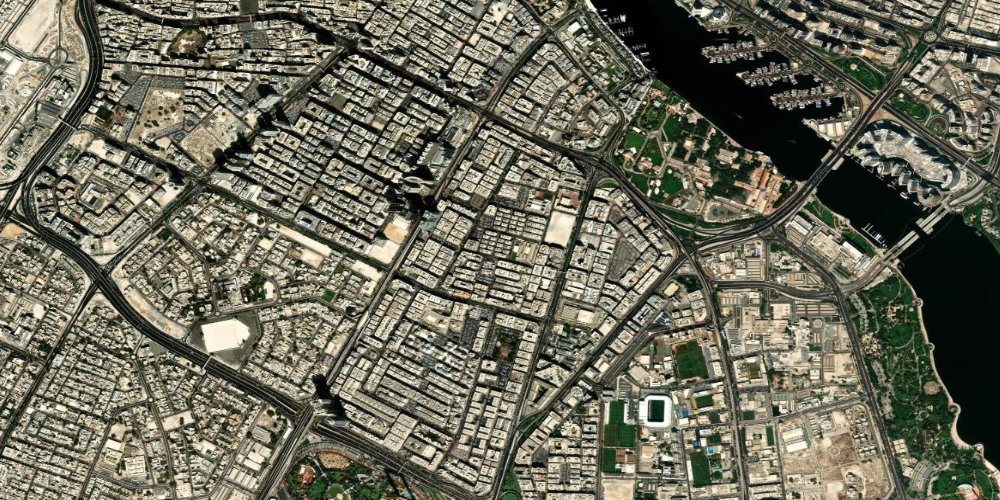
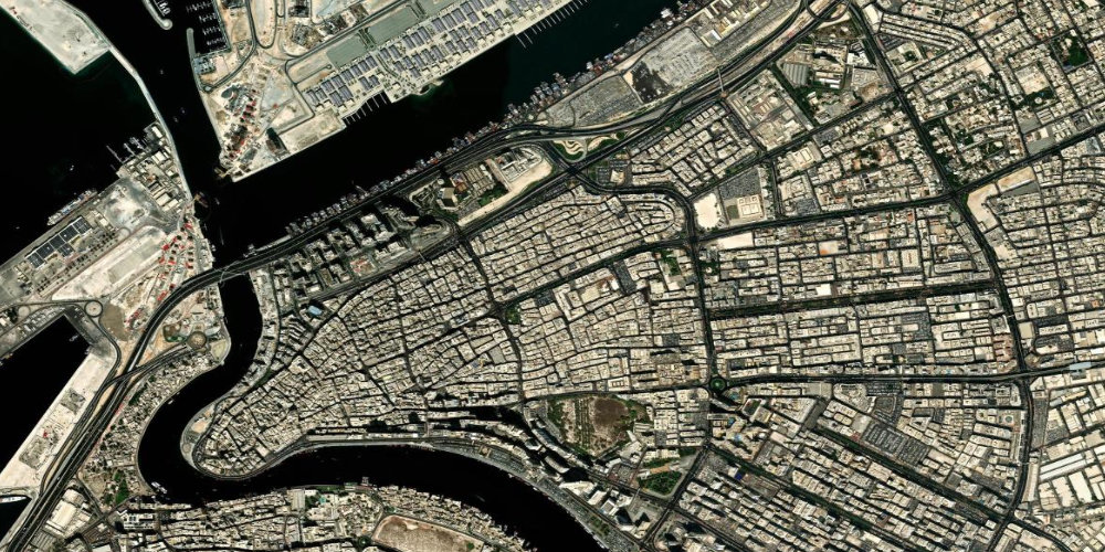
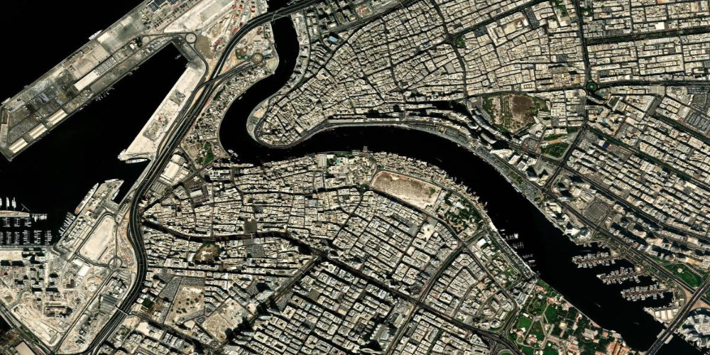
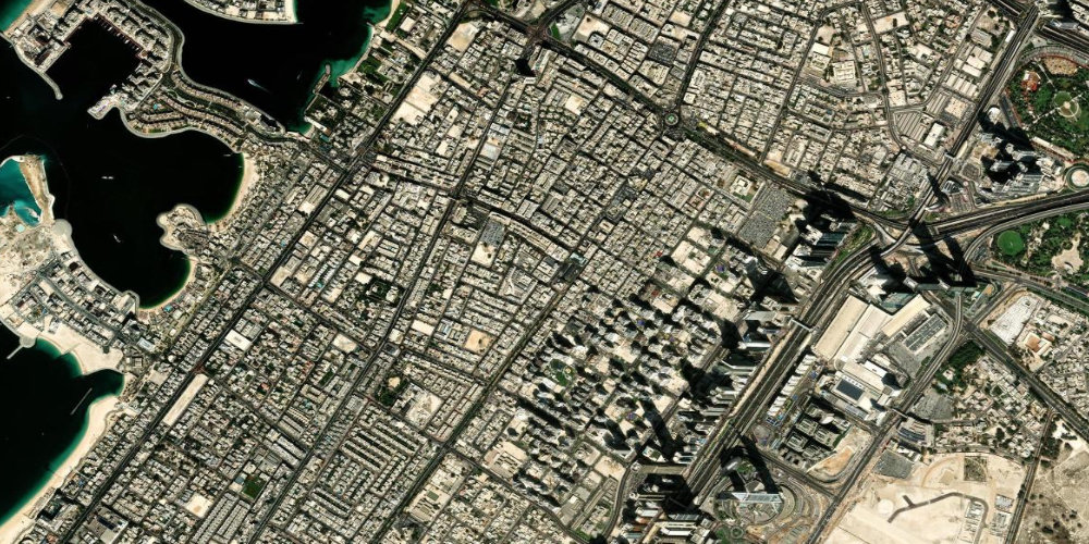
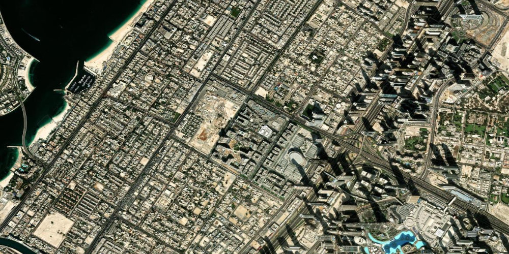
Dubai districts
All Dubai districts and neighbourhoods on a satellite map — with description, infrastructure, transport and what's nearby.
 Residential
 Al Barari
Al BarariAn exclusive, green residential area with villas, botanical gardens and a network of canals — one of the greenest in Dubai.
- Green gardens
- Premium-class villas
- The Farm restaurant
 Residential
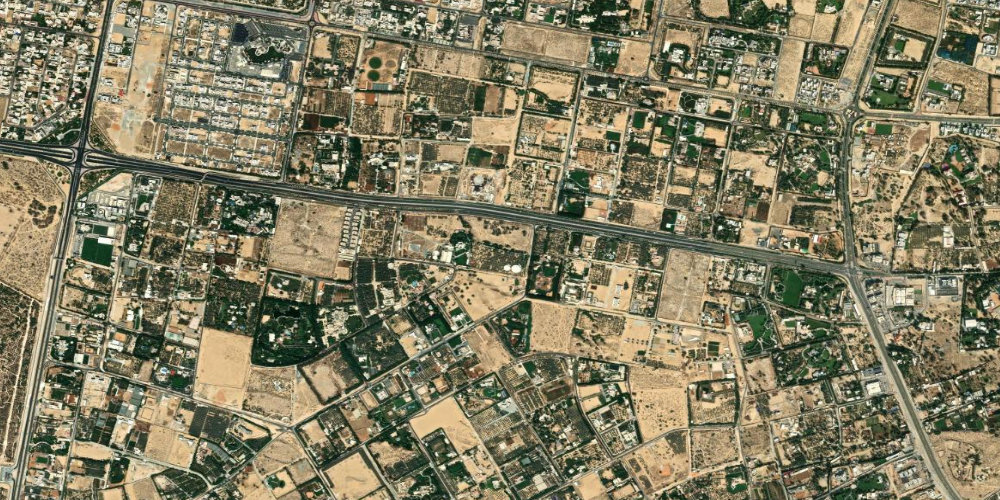
 Al Barsha
Al BarshaA large residential area next to the Mall of the Emirates and the Ski Dubai ski complex.
- Mall of the Emirates
- Ski Dubai
- Mashreq metro station
 Residential
 Al Wasl
Al WaslA central residential district between Jumeirah and Business Bay, with villas, cafés and Box Park.
- Box Park
- City Walk nearby
- Cafés and boutiques
 Residential
 Al Jaddaf
Al JaddafAn area by Dubai Creek next to Culture Village and the medical cluster, with the Al Jadaf metro station.
- Dubai Creek
- Culture Village
- Al Jadaf metro station
 Residential
 Al Karama
Al KaramaA dense central district with the Karama market, affordable shopping and cuisines from around the world.
- Karama market
- Street food
- Metro nearby
 Residential
 Al Quoz
Al QuozAn industrial-creative district: warehouses converted into galleries and the Alserkal Avenue art spaces.
- Alserkal Avenue
- Art galleries
- Design studios
 Historic
 Al Murar
Al MurarAn old, dense area of Deira with markets, mosques and traditional small-scale trade.
- Old Deira
- Markets and shops
- Traditional mosques
 Coastal
 Al Sufouh
Al SufouhA coastal district between Palm Jumeirah and the Marina, with the Madinat Jumeirah resort and media clusters.
- Madinat Jumeirah
- Souk Madinat
- Private beaches
 Historic
 Al Fahidi
Al FahidiA historic quarter with wind towers, narrow lanes, museums and coffee houses.
- Wind towers
- Coffee museum
- Craft galleries
 Residential
 Al Khawaneej
Al KhawaneejA green, suburban residential area in the east of Dubai with farms, parks and the Last Exit zone.
- Green suburb
- Last Exit
- Farms and parks
 Business
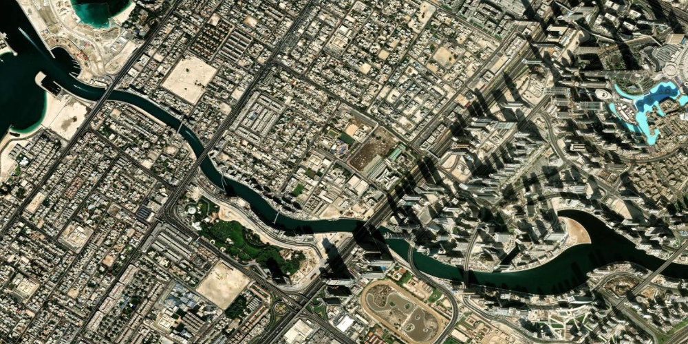
 Business Bay
Business BayA business and residential district with skyscrapers along the artificial extension of the Dubai Canal.
- Dubai Canal
- Bay Avenue
- Views of the Burj Khalifa
 Historic
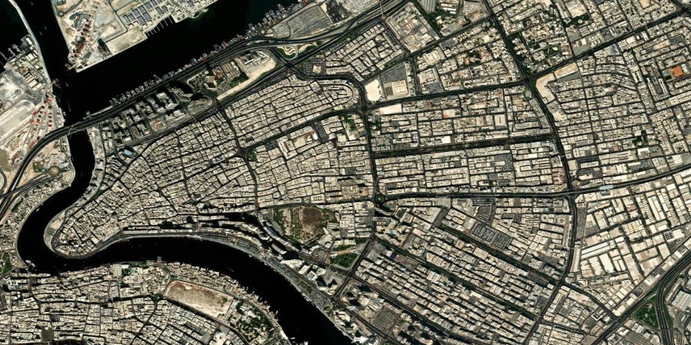
 Bur Dubai
Bur DubaiThe historic heart of the city on the western bank of Dubai Creek, with museums and old quarters.
- Dubai Museum
- Al Fahidi quarter
- Abra across the Creek
 Central
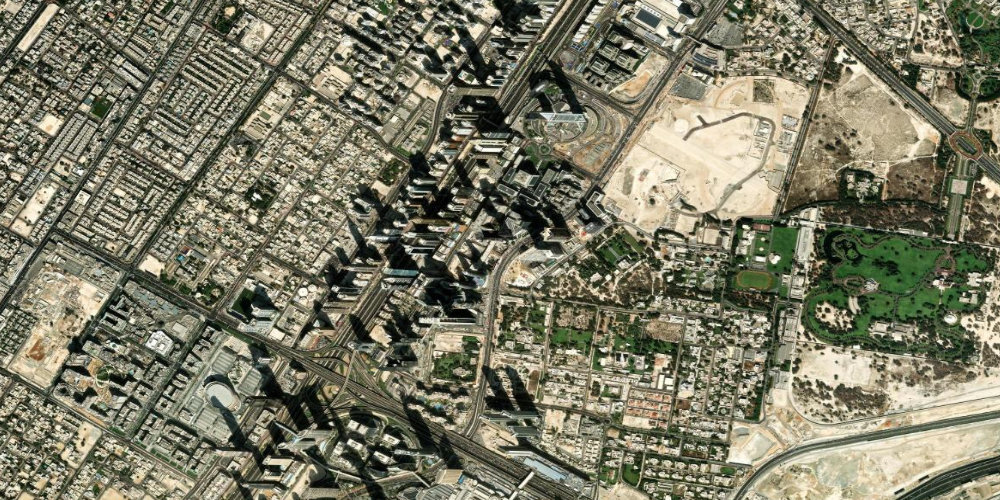
 Downtown
Downtown DubaiThe showcase of modern Dubai: the Burj Khalifa, The Dubai Mall and the singing fountains.
- Burj Khalifa
- The Dubai Mall
- Dubai Fountain
 Historic
 Deira
DeiraAn old trading district on the eastern bank of the creek — gold and spice markets, traditional Dubai.
- Gold Souk
- Spice Souk
- Dubai Creek
 Coastal
 JBR
JBRJumeirah Beach Residence — the beach promenades The Walk and The Beach with seaside restaurants.
- JBR beach
- The Walk
- Ain Dubai nearby
 Business
 JLT
JLTJumeirah Lakes Towers — clusters of towers around artificial lakes opposite Dubai Marina.
- Artificial lakes
- JLT Park
- DMCC metro
 Coastal
 Jumeirah
JumeirahA prestigious coastal district with villas, beaches and the Jumeirah Mosque.
- Jumeirah Mosque
- La Mer beach
- Burj Al Arab nearby
 Residential
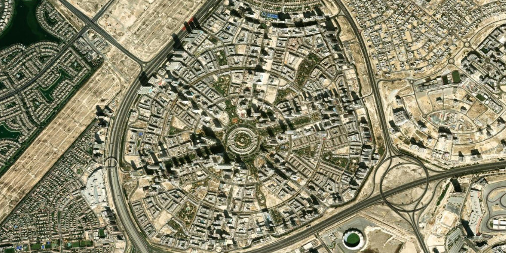
 JVC (Jumeirah Village Circle)
JVCA popular, affordable area of villas and apartments arranged around parks, between the Marina and the centre.
- Parks and courtyards
- Affordable housing
- Central location
 Residential
 Discovery Gardens
Discovery GardensAn affordable, leafy residential area of low-rise buildings with gardens, next to Ibn Battuta Mall.
- Ibn Battuta Mall
- Green courtyards
- Metro nearby
 Business
 DIFC
DIFCDubai's international financial centre — offices, galleries, restaurants and the Gate Building arch.
- Gate Building
- Art galleries
- Gastro quarters
 Business
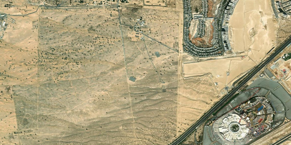
 Dubai Silicon Oasis
Dubai Silicon OasisA tech free zone and residential area with offices of IT companies, schools and parks.
- Tech park
- Free zone
- Schools and parks
 Central
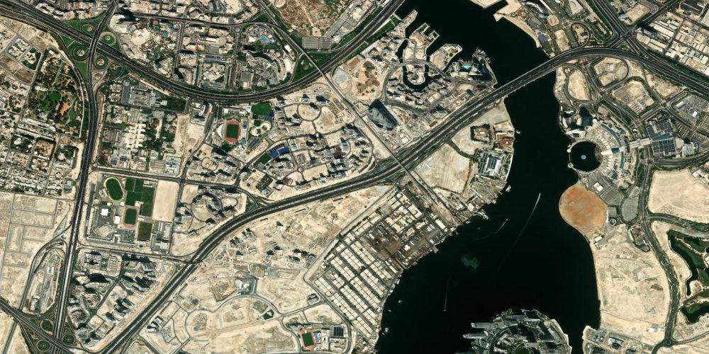
 Dubai Creek Harbour
Dubai Creek HarbourA new waterfront district by the Ras Al Khor reserve, with a promenade and views of the old and new city.
- Creek Marina
- Flamingo reserve
- Promenade
 Coastal
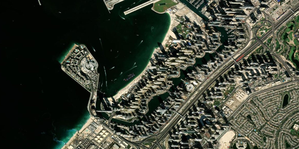
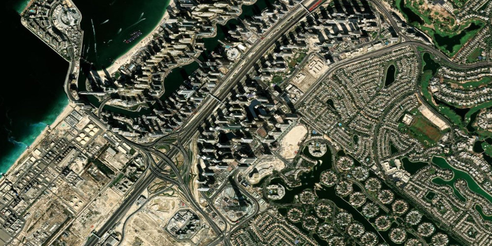
 Dubai Marina
Dubai MarinaAn artificial canal with skyscrapers, the Marina Walk promenade and yachts — one of the liveliest districts.
- Marina Walk
- Yacht club
- Cable car to JBR
 Residential
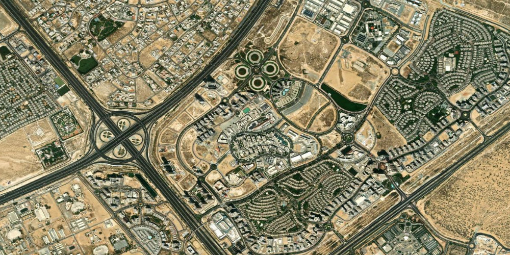
 Dubai Hills
Dubai Hills EstateA modern, green district with a golf course, a park and the large Dubai Hills Mall shopping centre.
- Dubai Hills Mall
- Golf club
- Central park
 Central
 Zabeel
ZabeelA prestigious central area with Zabeel Park, the Dubai Frame and government buildings.
- Zabeel Park
- Dubai Frame
- Green areas
 Residential
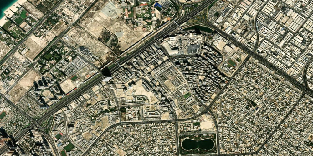
 International City
International CityAn affordable residential district of themed clusters by country, next to the Dragon Mart market.
- Dragon Mart
- Themed clusters
- Budget rentals
 Residential
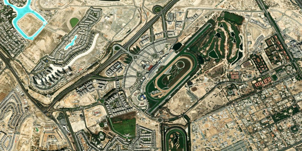
 Meydan
MeydanA residential area around the famous Meydan Racecourse, home to the Dubai World Cup.
- Meydan Racecourse
- Dubai World Cup
- The Meydan Hotel
 Residential
 Mirdif
MirdifA family residential district in the east of the city with villas, parks and the City Centre Mirdif mall.
- City Centre Mirdif
- Mushrif Park
- Family villas
 Residential
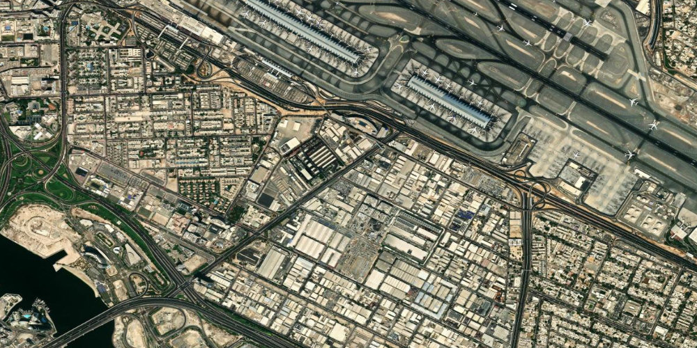
 Nad Shamma
Nad ShammaA calm residential area near Rashidiya and Mirdif, not far from the international airport.
- Quiet residential area
- DXB airport nearby
- Close to Mirdif
 Historic
 Naif
NaifAn area of Deira famous for the Naif Souk market with textiles and clothing, and the historic Naif police station.
- Naif Souk market
- Old Deira
- Naif police station
 Coastal
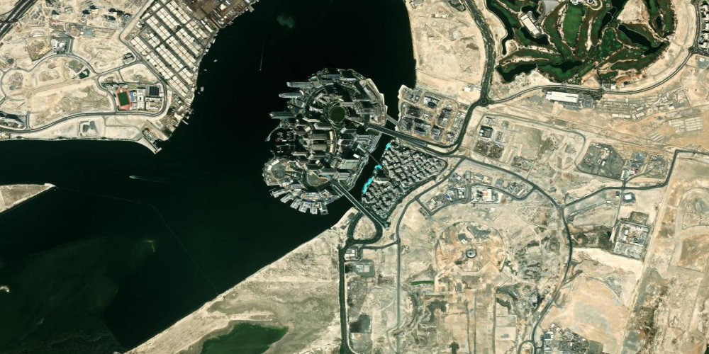
 Palm Jumeirah
Palm JumeirahThe famous palm-shaped artificial island with hotels, residences and Atlantis.
- Atlantis The Palm
- Monorail
- The Pointe
 Business
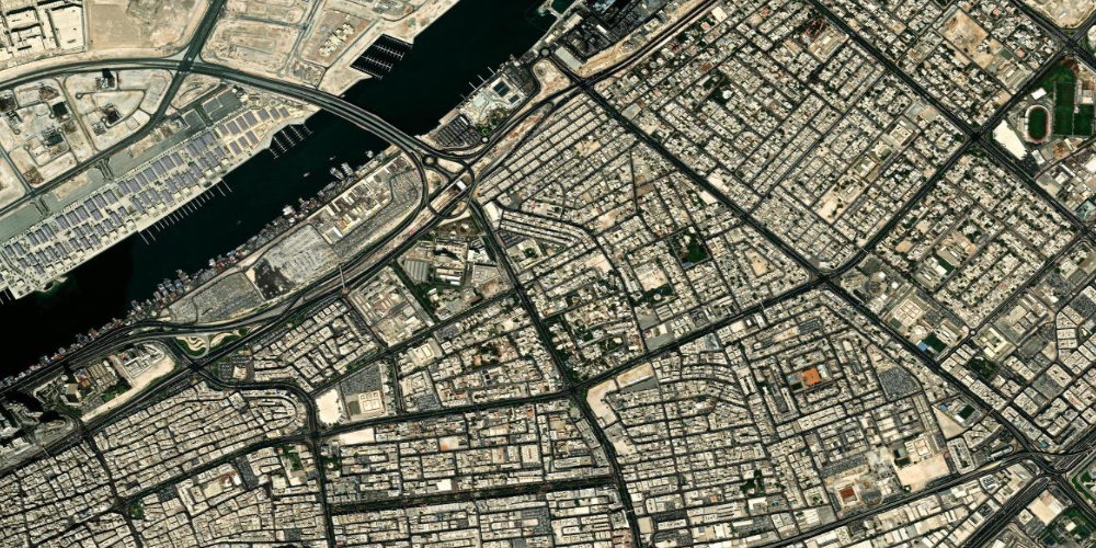
 Port Al Hamriya
Port Al HamriyaA port and industrial area of Deira around Hamriya Port, next to the fish market.
- Hamriya Port
- Deira fish market
- Port-side Deira
 Residential
 Al Satwa
Al SatwaA colourful, inexpensive district in the centre with fabric shops, workshops and affordable food.
- Fabric market
- Tailors
- Street food
 Central
 City Walk
City WalkA pedestrian urban district with boutiques, restaurants, street art and the Coca-Cola Arena nearby.
- Coca-Cola Arena
- Boutiques
- Street art
 Residential
 Oud Metha
Oud MethaA central district with the Wafi shopping complex, parks, clinics and sports facilities.
- Wafi Mall
- Khan Murjan
- Parks
 Coastal
 Umm Suqeim
Umm SuqeimA coastal district with the open Kite Beach and Sunset Beach and views of Burj Al Arab.
- Kite Beach
- Sunset Beach
- Burj Al Arab nearby