Dubai Metro stations
All metro stations with satellite imagery: Red and Green lines. Pick a station to see it on the map and what is nearby.
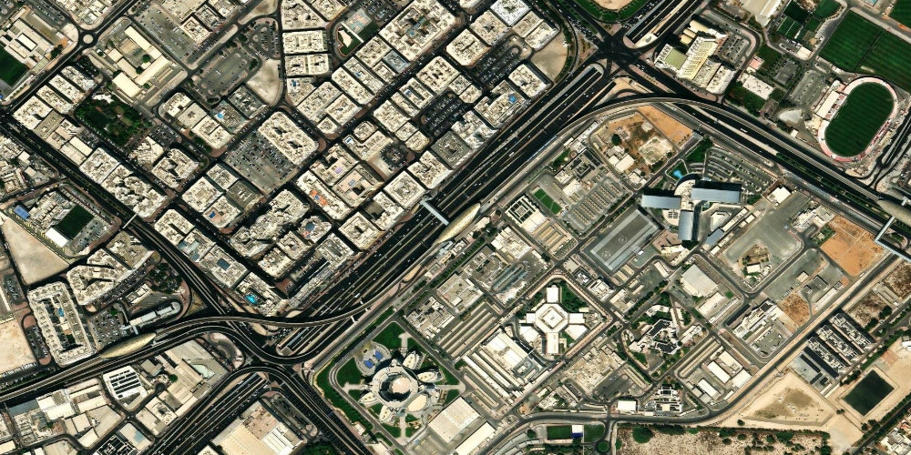
 Red Line
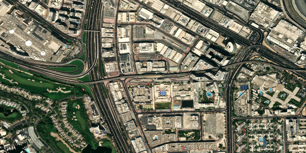
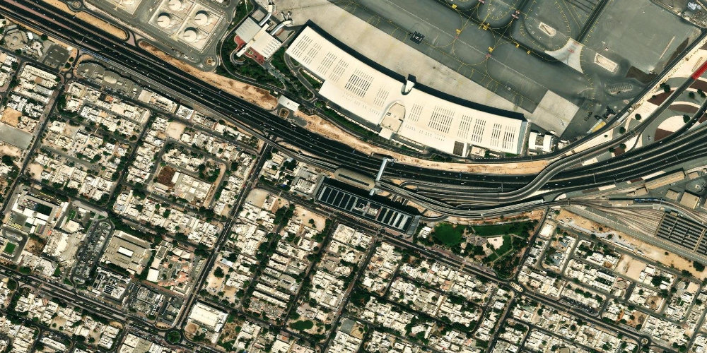
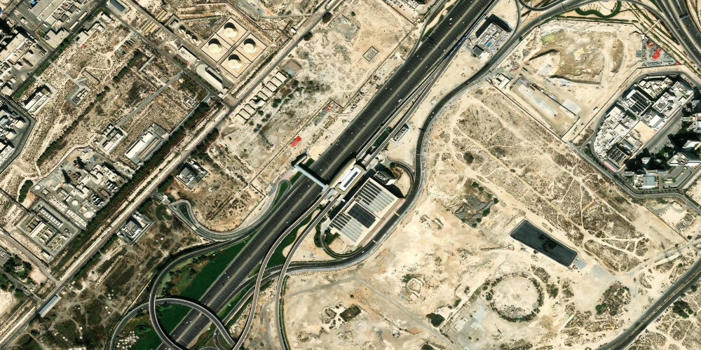
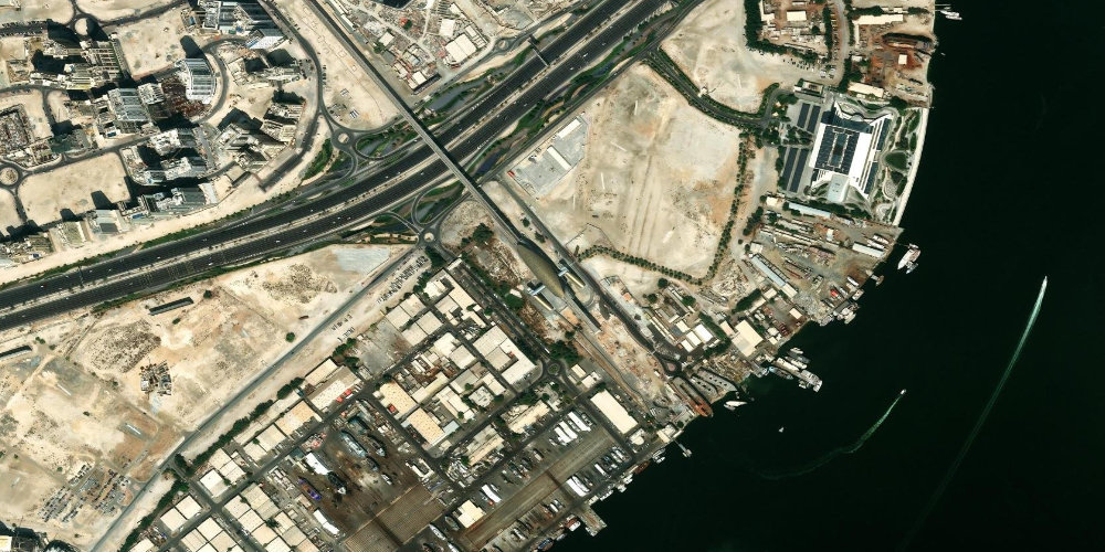
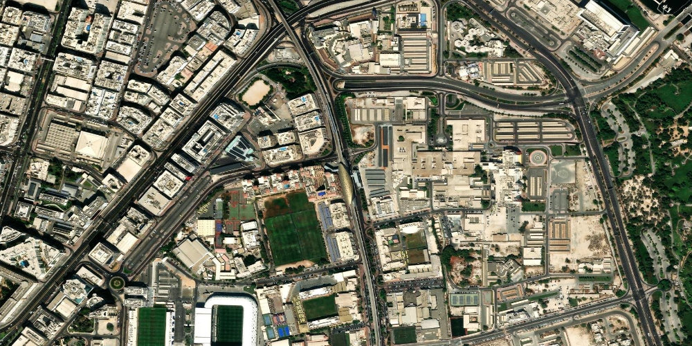
 Al Garhoud
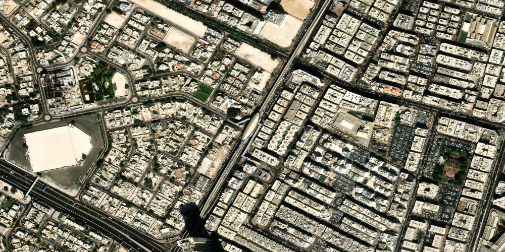
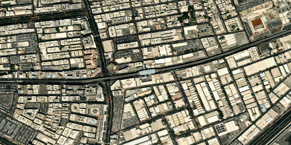
Al GarhoudThe station serves the Al Garhoud area between the airport and Deira, with offices, hotels and residential neighbourhoods. The main road interchanges of eastern Dubai run nearby.
- Al Garhoud area
- Deira
- DXB Airport
 Red Line
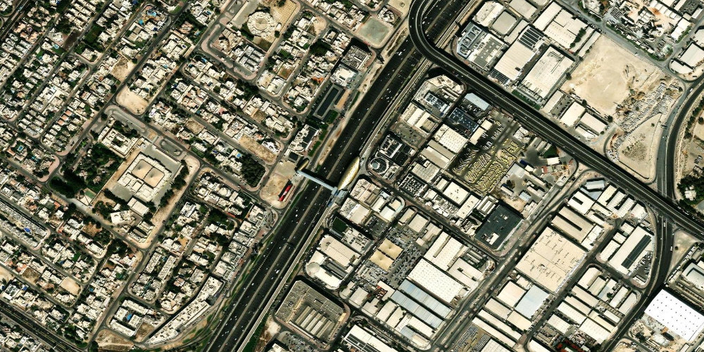
 Al Rigga
Al RiggaA station on the busy Al Rigga street in Deira, one of the most popular pedestrian and dining areas of old Dubai. The surroundings are full of hotels, cafes and shops.
- Al Rigga street
- Deira
- Gold and spice markets
 Red Line
 Al Furjan
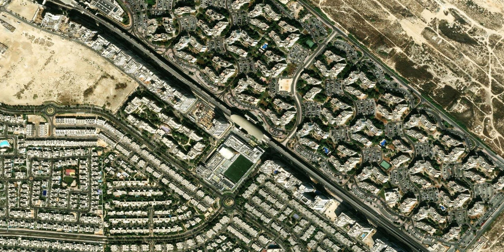
Al FurjanAl Furjan station on the Route 2020 branch serves the fast-growing Al Furjan residential area with villas and townhouses. A convenient transport hub for residents of south-western Dubai.
- Discovery Gardens
- Al Furjan residential area
- Al Furjan villas and townhouses
 Red Line
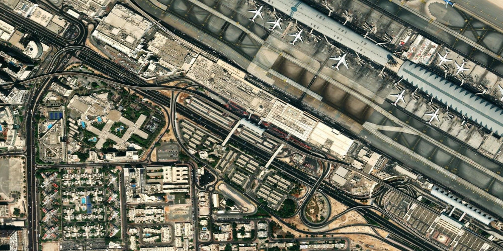
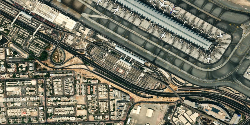
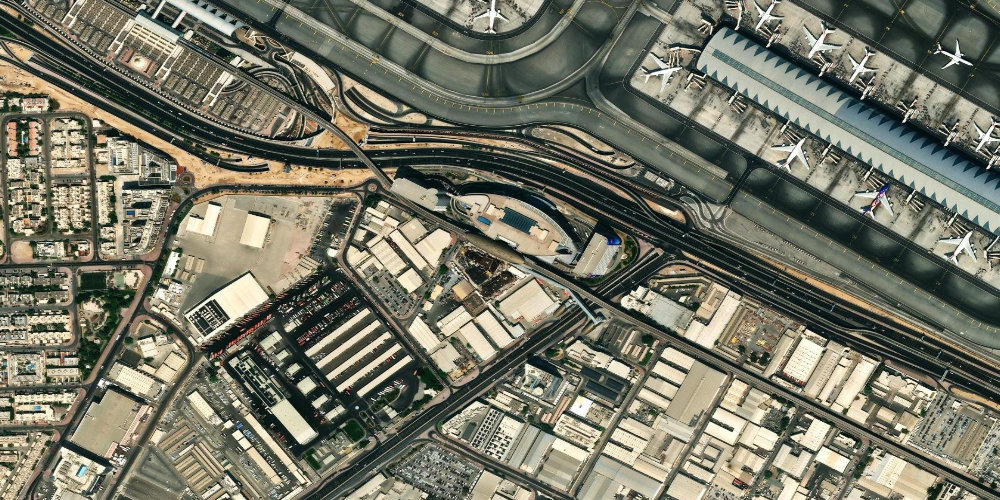
 Airport Terminal 1
Airport Terminal 1A station by Terminal 1 of Dubai International Airport (DXB), which serves most foreign airlines. A convenient point of arrival and departure for travellers flying with an airline other than Emirates.
- DXB Airport Terminal 1
- Terminal 3 (neighbouring station)
- Al Garhoud area
 Red Line
 Airport Terminal 3
Airport Terminal 3The station is located right by Terminal 3 of Dubai International Airport (DXB), which serves Emirates flights. It is the most convenient way to reach the airport by metro, avoiding traffic.
- DXB Airport Terminal 3
- Emirates flights
- Terminal 1 (neighbouring station)
 Red Line
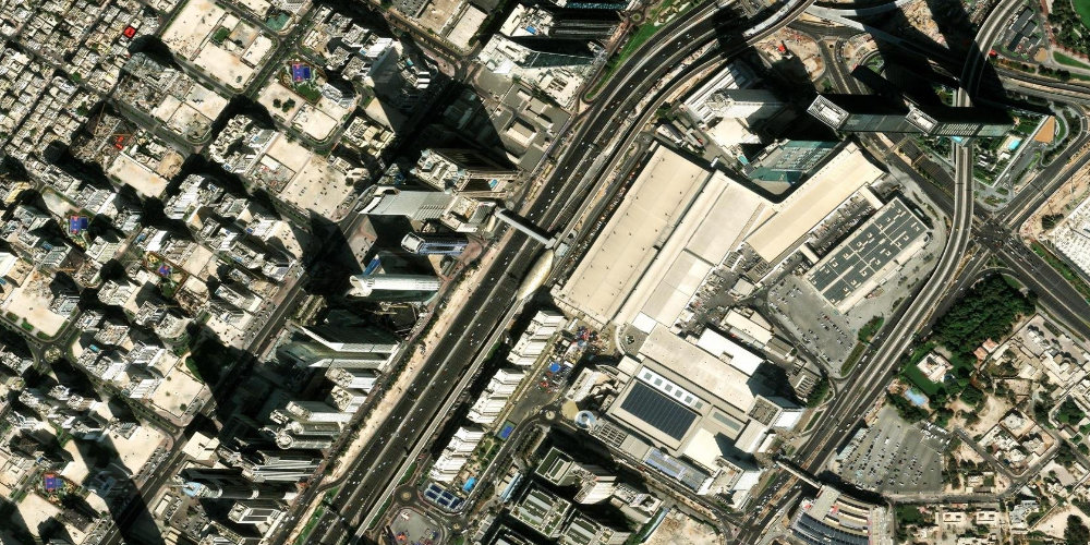
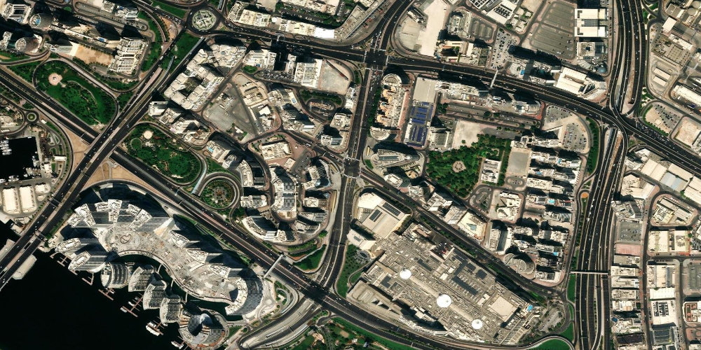
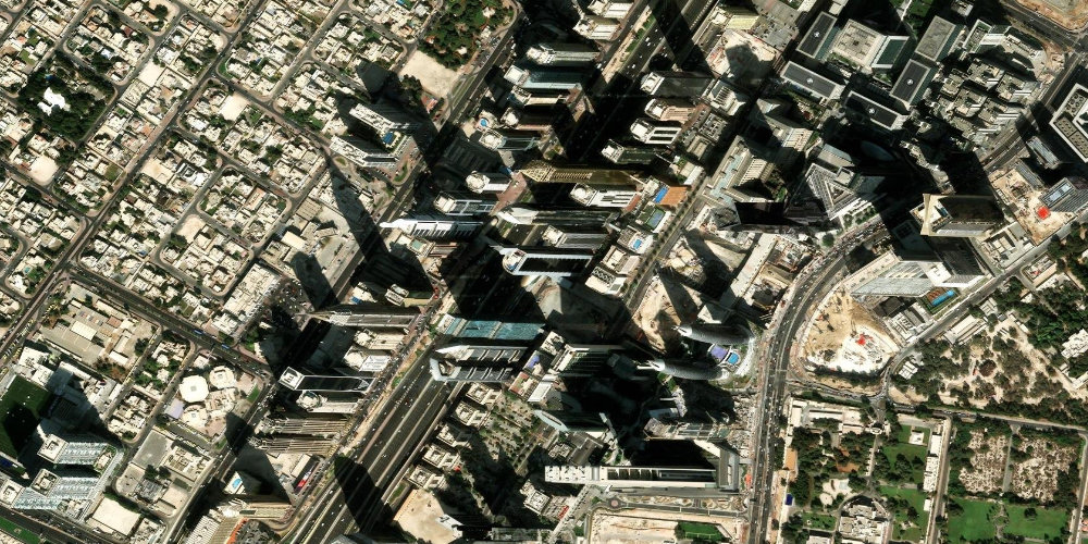
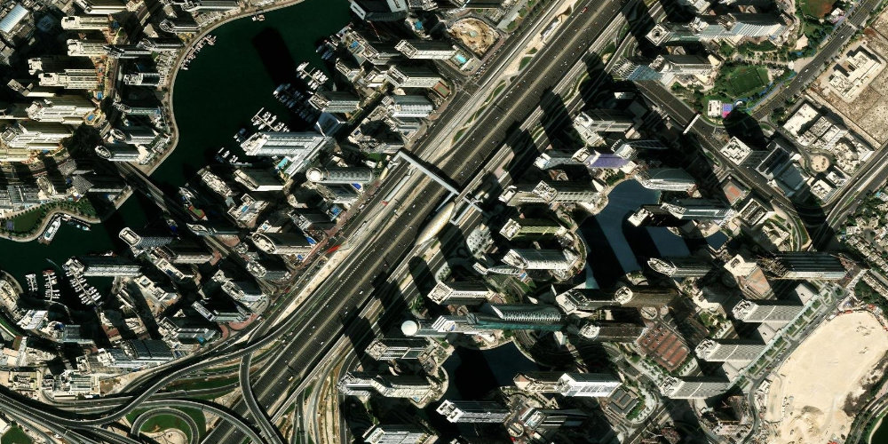
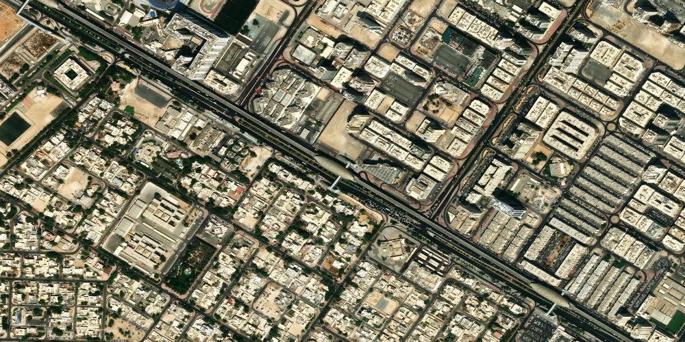
 Business Bay
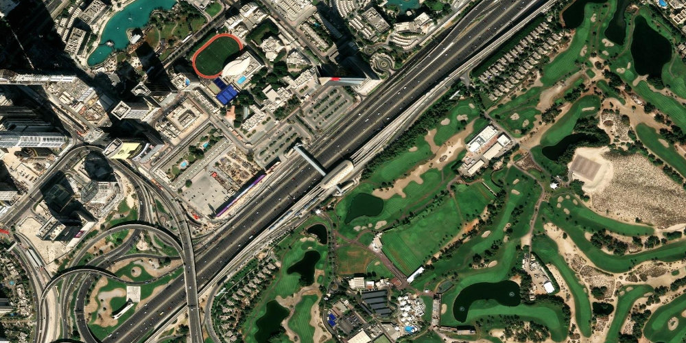
Business BayThe station serves the Business Bay business and residential district, with numerous skyscrapers, hotels and the Dubai Canal. It borders Downtown to the north.
- Business Bay
- Downtown
- Dubai Canal
 Red Line
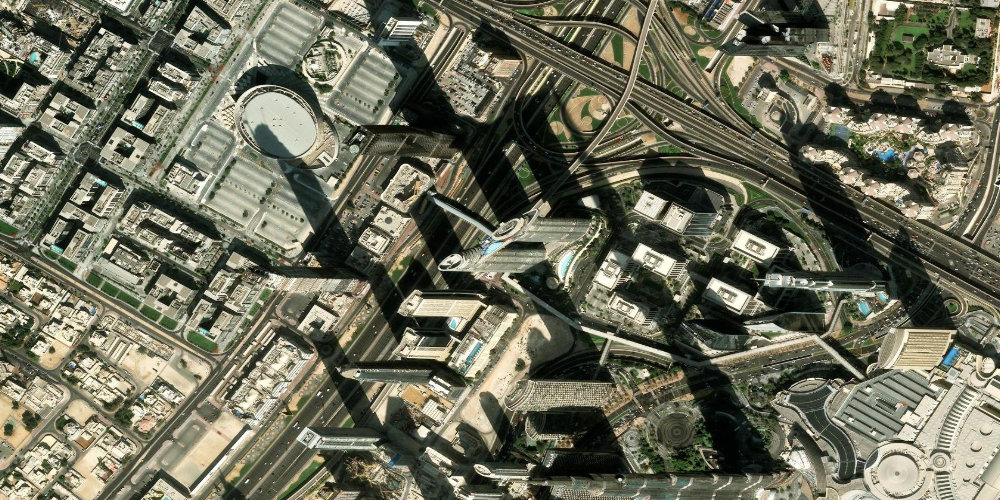
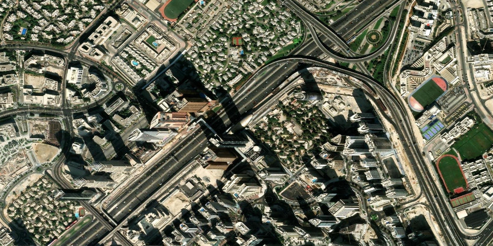
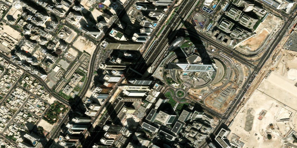
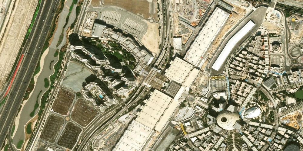
 Burj Khalifa / Dubai Mall
Burj Khalifa / Dubai MallDubai's main tourist station: from here you can reach the Burj Khalifa skyscraper, the giant Dubai Mall shopping centre and the famous Dubai Fountain. A covered travelator runs from the station to the mall.
- Burj Khalifa
- Dubai Mall
- Dubai Fountain
 Red Line
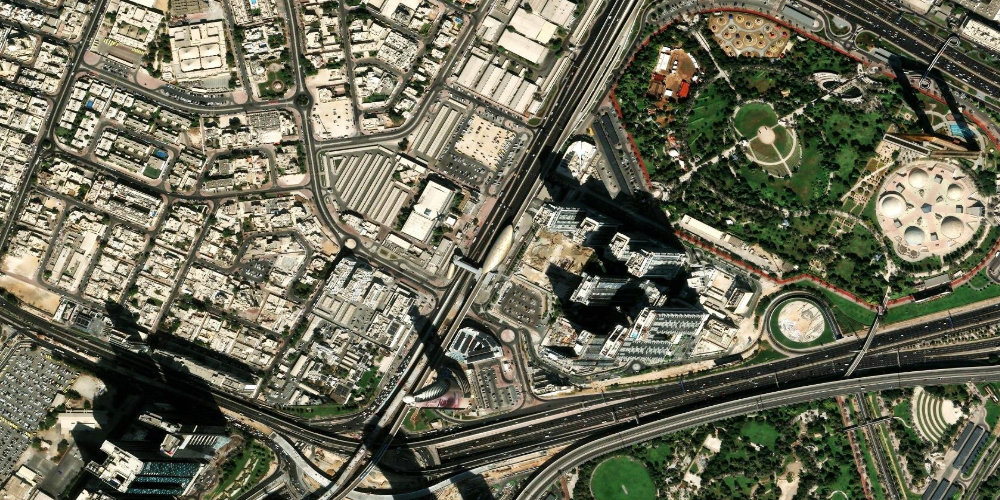
 World Trade Centre
World Trade CentreA station by the Dubai World Trade Centre complex, the city's main exhibition and convention venue, where the largest international forums and fairs take place. The Zabeel area is nearby.
- Dubai World Trade Centre
- Zabeel
- Museum of the Future
 Red Line
 Deira City Centre
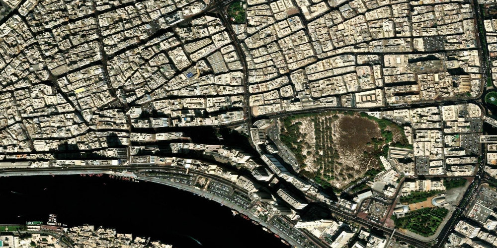
Deira City CentreThe station is connected by a covered walkway to one of the city's oldest major shopping malls, Deira City Centre. It is in the historic Deira district on the eastern bank of the Dubai Creek.
- Deira City Centre Mall
- Deira
- Dubai Creek
 Red Line
 Dubai Internet City
Dubai Internet CityDubai Internet City station serves the technology and business cluster of the same name, home to the offices of major IT companies. Popular among those working in the Dubai Internet City and Media City free zones.
- Al Sufouh
- Dubai Internet City (IT cluster)
- Dubai Media City
 Red Line
 Ibn Battuta
Ibn BattutaIbn Battuta station is connected to the themed Ibn Battuta Mall, designed in the style of the journeys of the famous Arab traveller. A popular point for shopping and transfers to residential areas in southern Dubai.
- Ibn Battuta Mall
- Discovery Gardens
- Discovery Gardens and Al Furjan
 Red Line
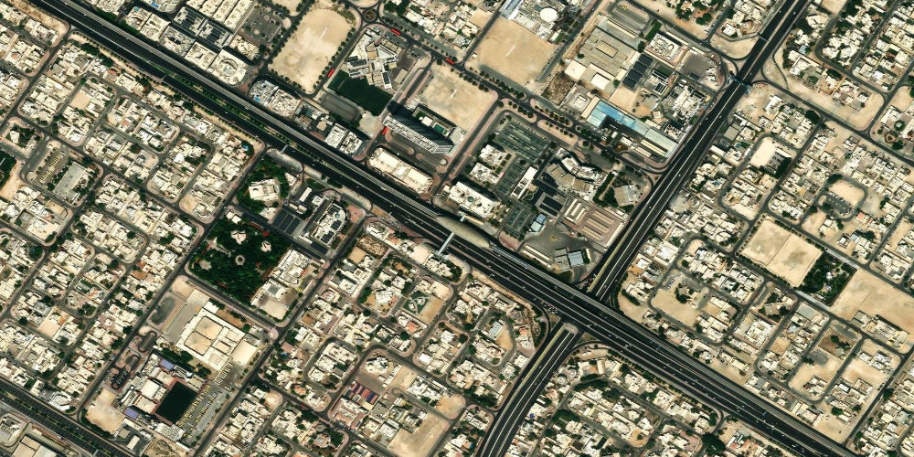
 Max
MaxThe station serves the Mina/Mankhool area of Bur Dubai, with dense residential and commercial development. It is named after its sponsor, the Max Fashion store.
- Bur Dubai
- Mina/Mankhool area
- Al Karama
 Red Line
 Mall of the Emirates
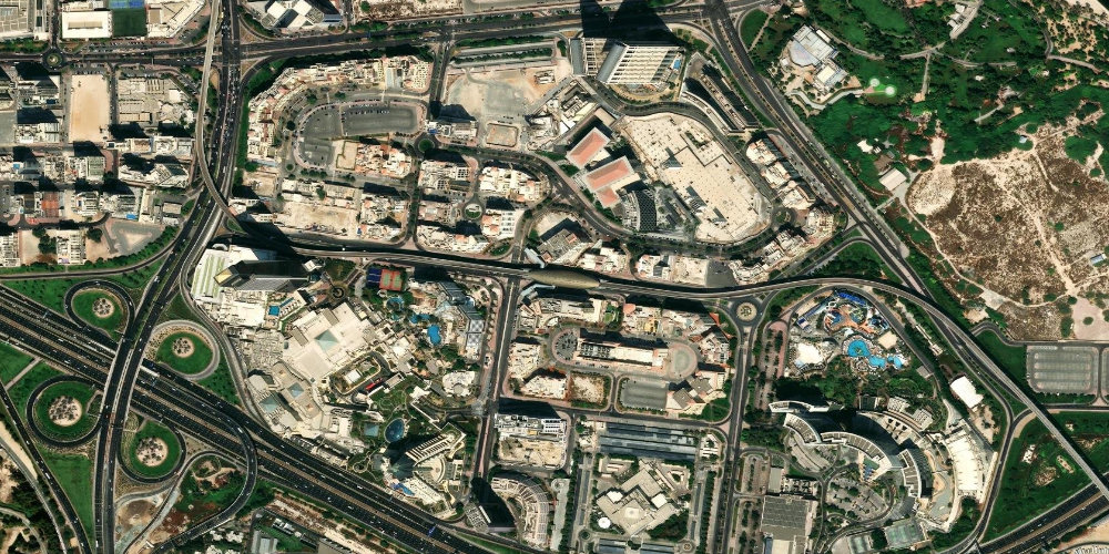
Mall of the EmiratesMall of the Emirates station is connected by a covered walkway to the shopping centre of the same name, Mall of the Emirates, and the indoor ski resort Ski Dubai. One of the Red Line's most popular stations for shopping and entertainment.
- Mall of the Emirates
- Al Barsha
- Ski Dubai (indoor ski resort)
 Red Line
 Centrepoint
CentrepointThe northern terminus of the Red Line, located in the Al Rashidiya area in eastern Dubai. It has a large park-and-ride car park and a bus terminal for transfers to suburban routes.
- Al Rashidiya area
- Arabian Center Mall
- Park-and-ride car park
 Red Line
 Financial Centre
Financial CentreThe station serves the DIFC financial district and has a convenient exit towards Downtown. One of the key stations for business trips and, at the same time, an approach to the city's tourist centre.
- DIFC
- Downtown
- Museum of the Future
 Red Line
 Emirates
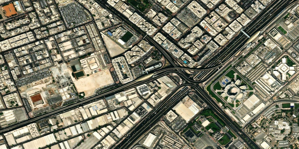
EmiratesA station in the eastern part of the city, next to the Emirates airline headquarters and Sheikh Zayed Road. It mainly serves the residential and office neighbourhoods nearby.
- Emirates headquarters
- Al Garhoud residential neighbourhoods
- Sheikh Zayed Road
 Red Line
 Emirates Towers
Emirates TowersA station by the Emirates Towers twin towers and the DIFC financial district. Nearby stands the Museum of the Future, one of the most recognisable architectural symbols of modern Dubai.
- Museum of the Future
- DIFC
- Emirates Towers
 Red Line
 ADCB
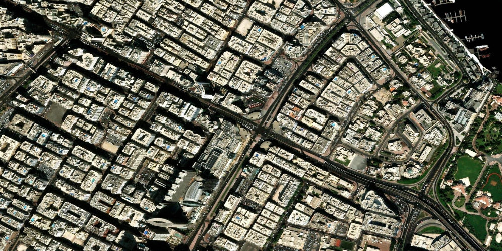
ADCBThe station is named after the ADCB bank and sits on the edge of Bur Dubai, serving densely built-up residential and commercial neighbourhoods. The Al Karama area is nearby.
- Bur Dubai
- Al Karama
- BurJuman (Green Line interchange)
 Red Line
 Al Fardan Exchange
Al Fardan ExchangeAl Fardan Exchange station is along Sheikh Zayed Road between the business and residential clusters of the southern part of the city. It serves the adjacent office and residential complexes.
- Al Sufouh
- Sheikh Zayed Road
- Office and residential complexes
 Red Line
 Danube
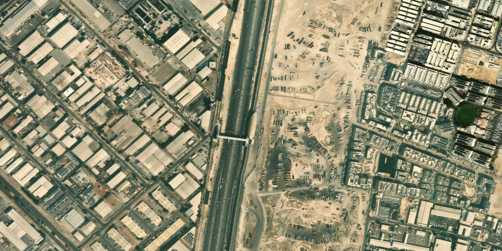
DanubeDanube station is in the southern part of Dubai by Sheikh Zayed Road, next to the industrial and warehouse zones of Jebel Ali. It is the final stretch of the main Red Line branch before Jebel Ali.
- Sheikh Zayed Road
- Jebel Ali industrial zone
- Warehouse and commercial complexes
 Red Line
 Discovery Gardens
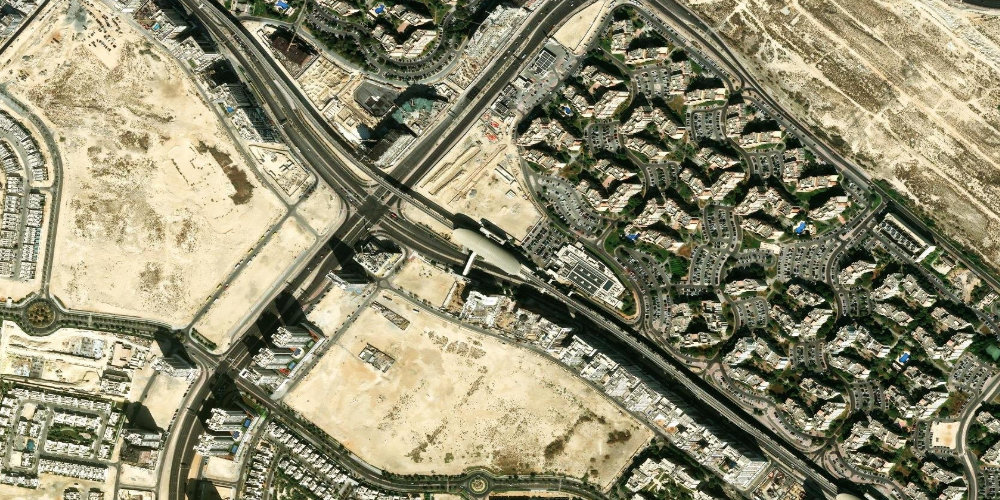
Discovery GardensDiscovery Gardens station on the Route 2020 branch serves the densely populated residential area of the same name, with themed gardens and affordable housing. Convenient for residents of south-western Dubai.
- Discovery Gardens
- Al Furjan
- Discovery Gardens residential neighbourhoods
 Red Line
 DMCC (JLT)
DMCCDMCC station serves the Jumeirah Lakes Towers (JLT) business and residential district and has a transfer to the Dubai Tram. Nearby is the Dubai Marina district with its skyscrapers and waterfront.
- JLT
- Dubai Marina
- Dubai Tram
 Red Line
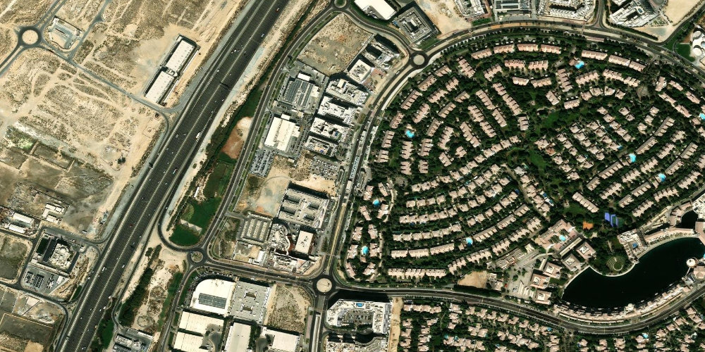
 Dubai Investment Park (DIP)
Dubai Investment ParkDubai Investment Park (DIP) station on the Route 2020 branch serves a large mixed-use area with industrial, commercial and residential zones. A convenient hub for workers and residents of DIP.
- Dubai Investment Park (DIP)
- DIP industrial and commercial zones
- Dubai Investment Park residential neighbourhoods
 Red Line
 Energy
EnergyEnergy station is in the southern industrial and logistics part of Dubai along Sheikh Zayed Road. It serves the adjacent businesses and warehouses of the Jebel Ali area.
- Sheikh Zayed Road
- Jebel Ali industrial zone
- Logistics and warehouse complexes
 Red Line
 Equiti
EquitiEquiti station is in the Al Barsha area along Sheikh Zayed Road, next to residential neighbourhoods and office buildings. From here it is easy to reach the Al Barsha South and Al Quoz residential complexes.
- Al Barsha
- Al Quoz
- Sheikh Zayed Road
 Red Line
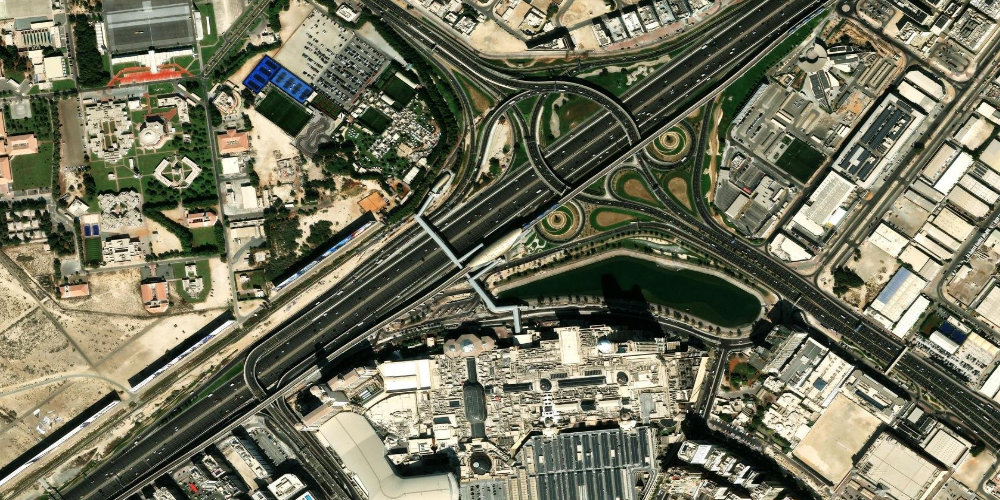
 Expo City Dubai
Expo City DubaiExpo City Dubai station is the terminus of the Route 2020 branch, built for the Expo 2020 World's Fair. It serves the Expo City exhibition city, with pavilions, parks and business spaces.
- Expo City Dubai (exhibition city)
- Al Wasl Plaza dome
- Expo City pavilions and parks
 Red Line
 InsuranceMarket
InsuranceMarketInsuranceMarket station is in the Al Barsha area along Sheikh Zayed Road. It serves the adjacent residential and business neighbourhoods and is convenient for transfers to bus routes.
- Al Barsha
- Sheikh Zayed Road
- Al Barsha residential neighbourhoods
 Red Line
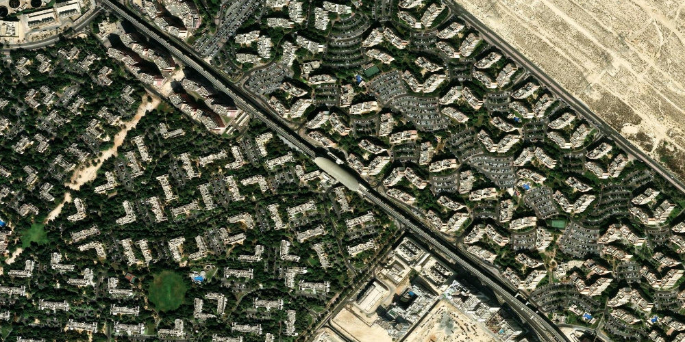
 Jumeirah Golf Estates
Jumeirah Golf EstatesJumeirah Golf Estates station on the Route 2020 branch serves a prestigious residential and golf complex with two championship courses. Convenient for villa residents and guests of golf tournaments.
- Jumeirah Golf Estates residential complex
- Earth and Fire golf courses
- Jumeirah Golf Estates villas
 Red Line
 Life Pharmacy
Life PharmacyLife Pharmacy station on the Route 2020 branch is on the approach to the exhibition city of Expo City Dubai. It serves the adjacent developing areas of southern Dubai.
- Expo City Dubai
- Developing areas of southern Dubai
- Sheikh Mohammed Bin Zayed Road
 Red Line
 National Paints
National PaintsNational Paints station is in the southern part of Dubai along Sheikh Zayed Road. It serves the adjacent residential and industrial neighbourhoods between Ibn Battuta and Energy.
- Sheikh Zayed Road
- Discovery Gardens
- Residential and industrial neighbourhoods
 Red Line
 ONPASSIVE
ONPASSIVEONPASSIVE station (formerly Noor Bank) is on the edge of the Al Quoz industrial and business area and the green Safa Park. A convenient interchange point for those heading to Al Quoz's creative quarters and Safa Park.
- Al Quoz
- Safa Park
- Alserkal Avenue art galleries
 Red Line
 Sharaf DG
Sharaf DGSharaf DG station is in the Al Barsha area along Sheikh Zayed Road, next to commercial and office buildings. It serves the adjacent residential neighbourhoods and workplaces.
- Al Barsha
- Sheikh Zayed Road
- Commercial and office buildings
 Red Line
 Sobha Realty
Sobha RealtySobha Realty station (formerly DAMAC Properties) is next to the Dubai Marina district and has a transfer to the Dubai Tram. A convenient entry point to the resort area of the Marina and JBR.
- Dubai Marina
- JBR
- Dubai Tram
 Red Line
 The Gardens
The GardensThe Gardens station is the starting point of the Route 2020 branch, which splits off from the main Red Line. It is next to the Discovery Gardens residential areas and the Ibn Battuta Mall shopping centre.
- Discovery Gardens
- Ibn Battuta Mall
- The Gardens residential area
 Green Line
 Abu Baker Al Siddique
Abu Baker Al SiddiqueA station on the busy Abu Baker Al Siddique street in Deira, surrounded by electronics shops, cafes and residential buildings. Handy for shopping and everyday travel around Deira.
- Deira
- Electronics shops
- Deira residential neighbourhoods
 Green Line
 Abu Hail
Abu HailA station in the Abu Hail residential area in northern Deira, next to Abu Hail Park and local shopping centres. Aimed primarily at residents of the district.
- Deira
- Abu Hail Park
- Abu Hail shopping centre
 Green Line
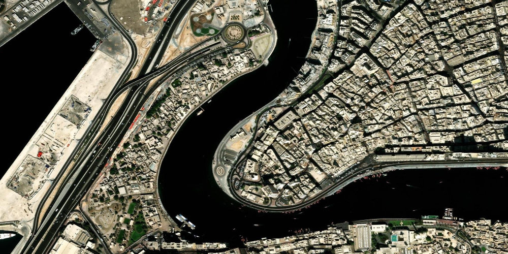
 Al Ghubaiba
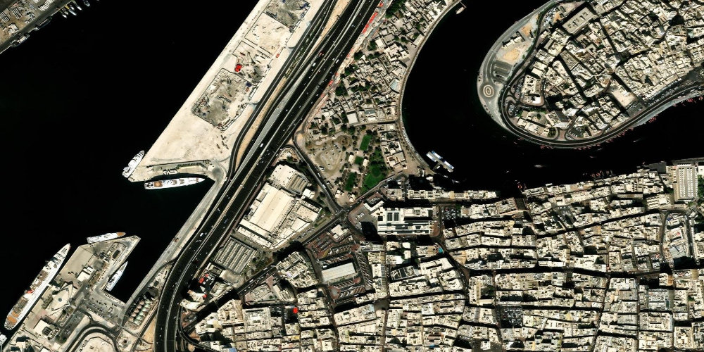
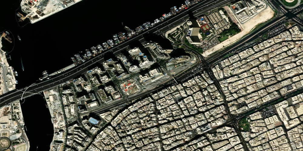
Al GhubaibaA station on the Bur Dubai side, next to the abra station and the Al Ghubaiba bus station, from which intercity buses depart. A convenient transport hub for trips around the Creek and to the historic Al Fahidi quarter.
- Bur Dubai
- Al Fahidi
- Al Ghubaiba bus station
 Green Line
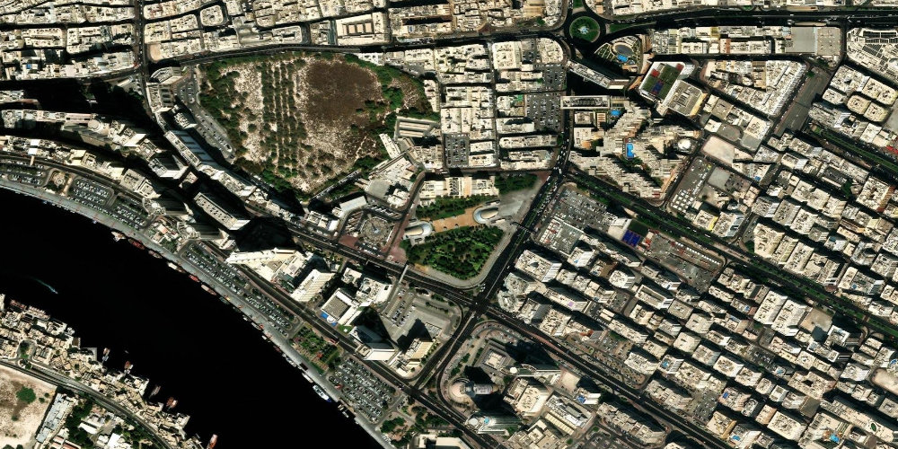
 Al Jadaf
Al JadafA station next to the Al Jaddaf area and the Culture Village cultural quarter, close to the Dubai Creek Harbour district. Convenient for residents of the new residential complexes and those heading to the Creek waterfront.
- Al Jaddaf
- Culture Village
- Dubai Creek Harbour
 Green Line
 Al Qiyadah
Al QiyadahA station in the northern part of Deira, next to major road interchanges and residential neighbourhoods. It serves as a convenient metro entry point for residents of eastern Deira.
- Deira
- Northern Deira residential neighbourhoods
- Al Qiyadah interchange
 Green Line
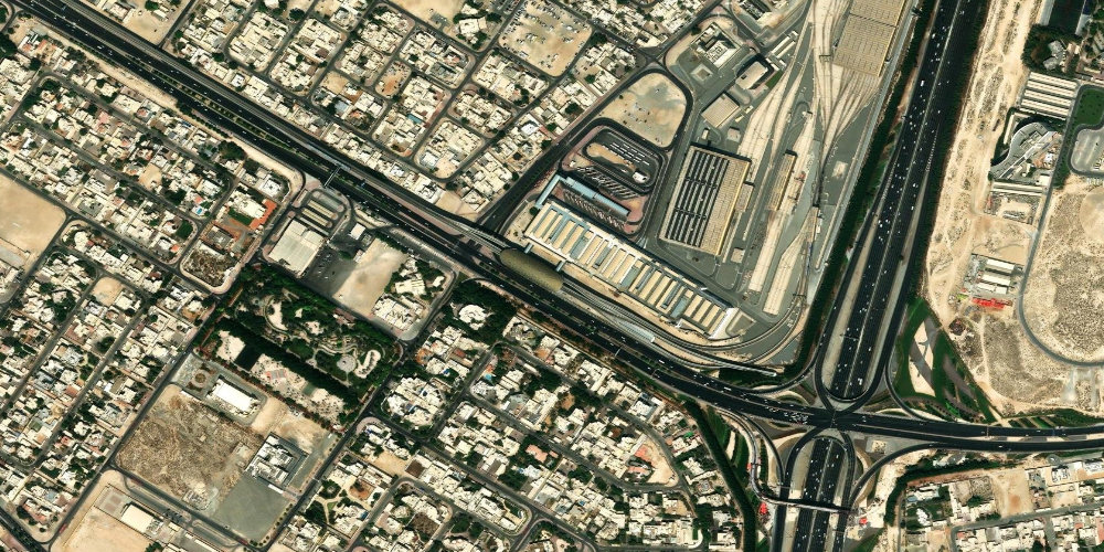
 Al Qusais
Al QusaisA station in the residential and industrial Al Qusais area in eastern Dubai. Most useful for residents of the surrounding neighbourhoods and those heading to local businesses and shopping centres in the district.
- Al Qusais
- Al Qusais residential neighbourhoods
- District shopping centres
 Green Line
 Al Nahda
Al NahdaA station in the densely populated Al Nahda residential area near the border with the emirate of Sharjah. Convenient for residents of the high-rise neighbourhoods and those using the local cafes, shops and Al Nahda Park.
- Al Nahda
- Al Nahda Park
- Sharjah border
 Green Line
 Al Ras
Al RasA station in the oldest part of Deira, among traditional markets and narrow commercial streets, next to the abra (water taxi) station across the Creek. Convenient for tourists exploring historic Dubai and crossing over to Bur Dubai.
- Deira
- Spice Souq
- Al Ras abra station
 Green Line
 Baniyas Square
Baniyas SquareA station in the very heart of old Deira, by the historic Baniyas Square with its hotels, banks and busy commercial streets. A good starting point for exploring the authentic old Dubai quarter.
- Deira
- Baniyas Square
- Naif
 Green Line · interchange
 BurJuman
BurJumanAn interchange station between the Green and Red lines, connected to the large BurJuman shopping mall in Bur Dubai. One of the metro's key hubs and a convenient spot for shopping.
- BurJuman Mall
- Bur Dubai
- Al Karama
 Green Line
 Gold Souq
Gold SouqA station by Deira's famous Gold Souq, as well as near the spice market and other traditional bazaars. The best entry point for tourists coming for gold, jewellery and oriental spices.
- Gold Souq
- Spice Souq
- Deira
 Green Line
 Dubai Healthcare City
Dubai Healthcare CityThe station serves the Dubai Healthcare City medical cluster, with hospitals, clinics and wellness centres on the bank of the Creek. Aimed at patients, medical staff and visitors to the cluster.
- Dubai Healthcare City
- Oud Metha
- Dubai Creek
 Green Line
 Creek
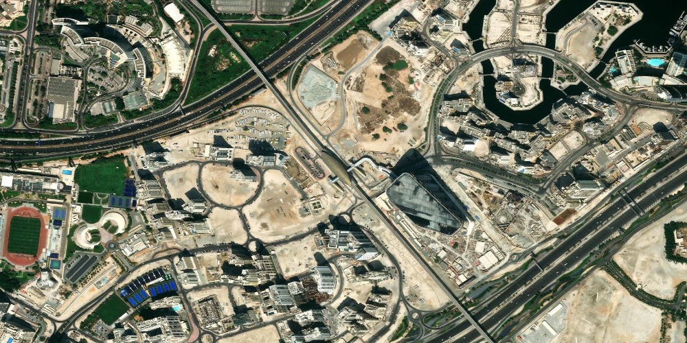
CreekThe southern terminus of the Green Line by the Al Jaddaf area, near the Creek and the Ras Al Khor wildlife sanctuary. It serves as the line's southern gateway and a point of access to the new waterfront districts.
- Al Jaddaf
- Ras Al Khor Sanctuary
- Dubai Creek Harbour
 Green Line
 Salah Al Din
Salah Al DinA station in the commercial heart of Deira, next to numerous gold, fabric and electronics shops. Convenient for shopping and bus transfers in the central part of old Dubai.
- Deira
- Deira shops and markets
- Naif
 Green Line
 Dubai Airport Free Zone (DAFZA)
Dubai Airport Free ZoneThe station serves the Dubai Airport Free Zone (DAFZA), a major business cluster next to the international airport. It is used mainly by employees of free-zone companies.
- Dubai Airport Free Zone (DAFZA)
- Dubai International Airport (DXB)
- Al Qusais
 Green Line
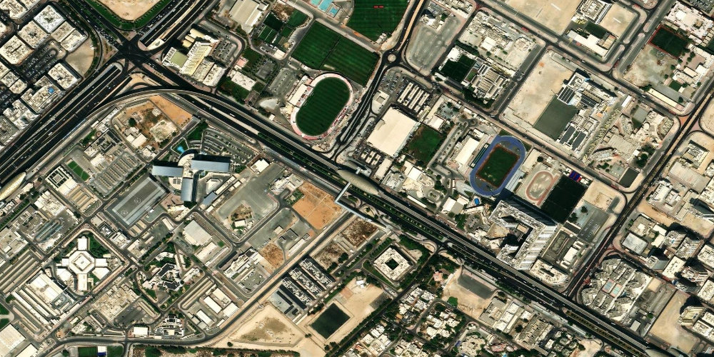
 Stadium
StadiumThe station is named after the nearby Al Ahli club stadium in the Al Qusais area. Useful for those heading to sporting events and the surrounding residential neighbourhoods.
- Al Ahli Stadium
- Al Qusais
- District sports facilities
 Green Line
 Oud Metha
Oud MethaA station in the Oud Metha area, next to parks, the Lamcy shopping centre and numerous medical and educational institutions. Useful for residents of the district and guests of the surrounding hotels.
- Oud Metha
- Zabeel Park
- District medical centres
 Green Line
 Etisalat (e&)
Etisalat (e&)The northern terminus of the Green Line, next to the headquarters of telecom operator e& (formerly Etisalat) in the Al Qusais industrial area. Handy for anyone working in this business and industrial cluster in eastern Dubai.
- Al Qusais
- e& (Etisalat) headquarters
- Al Qusais industrial zone
 Green Line · interchange
 Union
UnionA major interchange station between the Green and Red lines in the centre of Deira. One of the metro's main transport hubs, convenient for travelling to any part of the city.
- Deira
- Union (Etihad) Square
- Naif