Red Line
Emirates metro
Emirates
Coordinates:
25.24106, 55.36568 Red Line
views
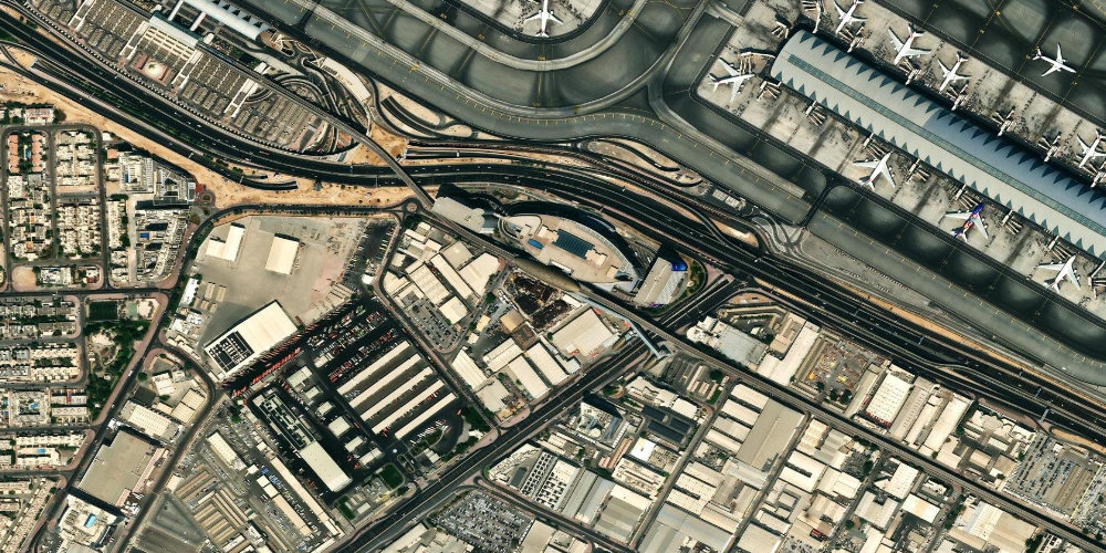
A station in the eastern part of the city, next to the Emirates airline headquarters and Sheikh Zayed Road. It mainly serves the residential and office neighbourhoods nearby.
Near the station
- Emirates headquarters
- Al Garhoud residential neighbourhoods
- Sheikh Zayed Road
Station on the map
Interactive satellite map — zoom and pan to explore exits and surroundings.
Neighbouring stations
Useful info about the Dubai Metro
Frequently asked questions about Emirates station
Is this an airport station?+
No, despite the name, Emirates station is not at the airport. For departures, use the Airport Terminal 1 or Airport Terminal 3 stations.
What is near the station?+
Nearby are the Emirates airline headquarters and office and residential buildings. This is primarily a business area, not a tourist one.