Red Line
Energy metro
Energy
Coordinates:
25.02631, 55.1013 Red Line
views
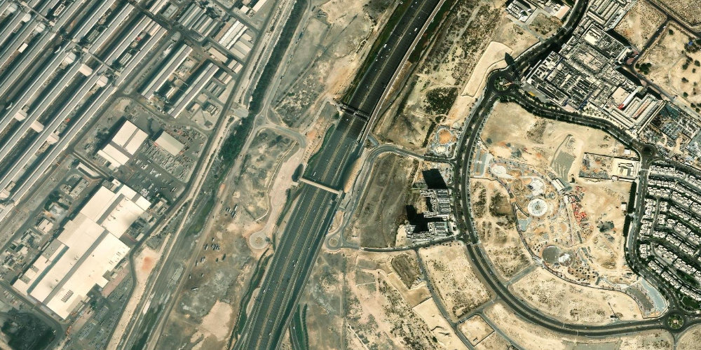
Energy station is in the southern industrial and logistics part of Dubai along Sheikh Zayed Road. It serves the adjacent businesses and warehouses of the Jebel Ali area.
Near the station
- Sheikh Zayed Road
- Jebel Ali industrial zone
- Logistics and warehouse complexes
Station on the map
Interactive satellite map — zoom and pan to explore exits and surroundings.
Neighbouring stations
Useful info about the Dubai Metro
Frequently asked questions about Energy station
What is near Energy station?+
The station is in the southern part of the city among industrial and logistics facilities along Sheikh Zayed Road.
Is this a tourist station?+
No, Energy primarily serves workers in the industrial and warehouse zone; there are no tourist attractions nearby.